21 July 2012.
In the Arctic and anywhere at sea, one expects to alter plans to fit in with tides and the weather. However it was a surprise to learn last night after dinner, that Frobisher Bay is blocked with pack ice two weeks later than usual, despite the hot, dry weather, and that the Canadian Coast Guard Ice Operations Office has advised that it would be unsafe to attempt to reach Iqaluit even with an icebreaker escort, due to the high pressure ice jam. An ice-strengthened vessel of similar ice class had already attempted transit and suffered damage. The ice jam is apparently due to the lack of a "dynamic weather event," or what might normally be called bad weather, with winds blowing the ice out of Frobisher Bay. The Master of the RV Akademik Ioffe, Captain Sazonov, has chosen to divert to Happy Valley - Goose Bay, a port that has an airport big enough to cope with an unexpected influx of about 80 people, passengers and staff, trying to fly home. We were told about this last night after our wonderful day in Saglek Bay area, but obviously the expedition leaders had been working on this for sometime. We will make shore excursions to Dog Island, Nain and Rigolet on the way.
 |
Frobisher Bay is the red area marked C on the bottom left, with Iqaluit at it's head.
Red indicates that the concentration of ice is 90-100% |
Dog Island
I woke early and the ship is forging ahead at top speed, just over 14 knots. There is quite a swell.
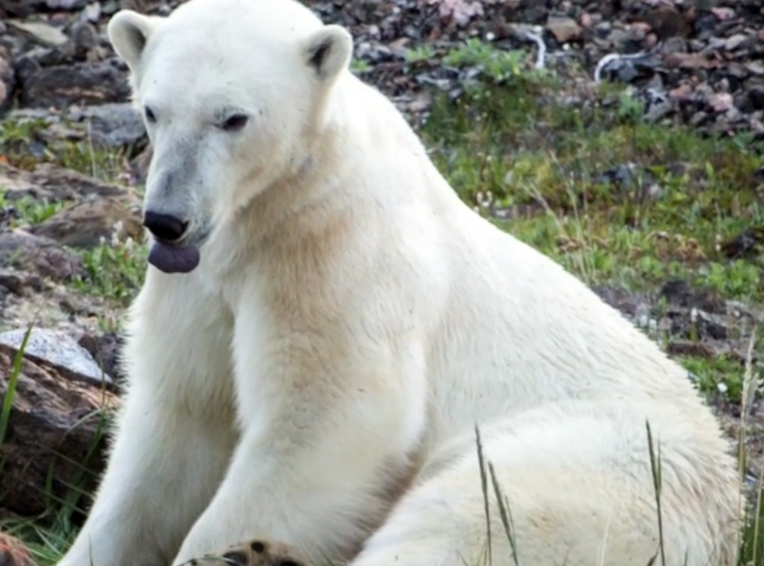
We arrived off Dog Island, close to Nain, around 10 am. Traditionally dog teams would be left here for the summer, and fed every 2 or 3 days. These dogs can be fierce, they are not pets, and they wouldn't want them running around where there are children. As usual the first ashore were the bear guards, also on the look-out for dogs - but we saw neither bears nor dogs.
 |
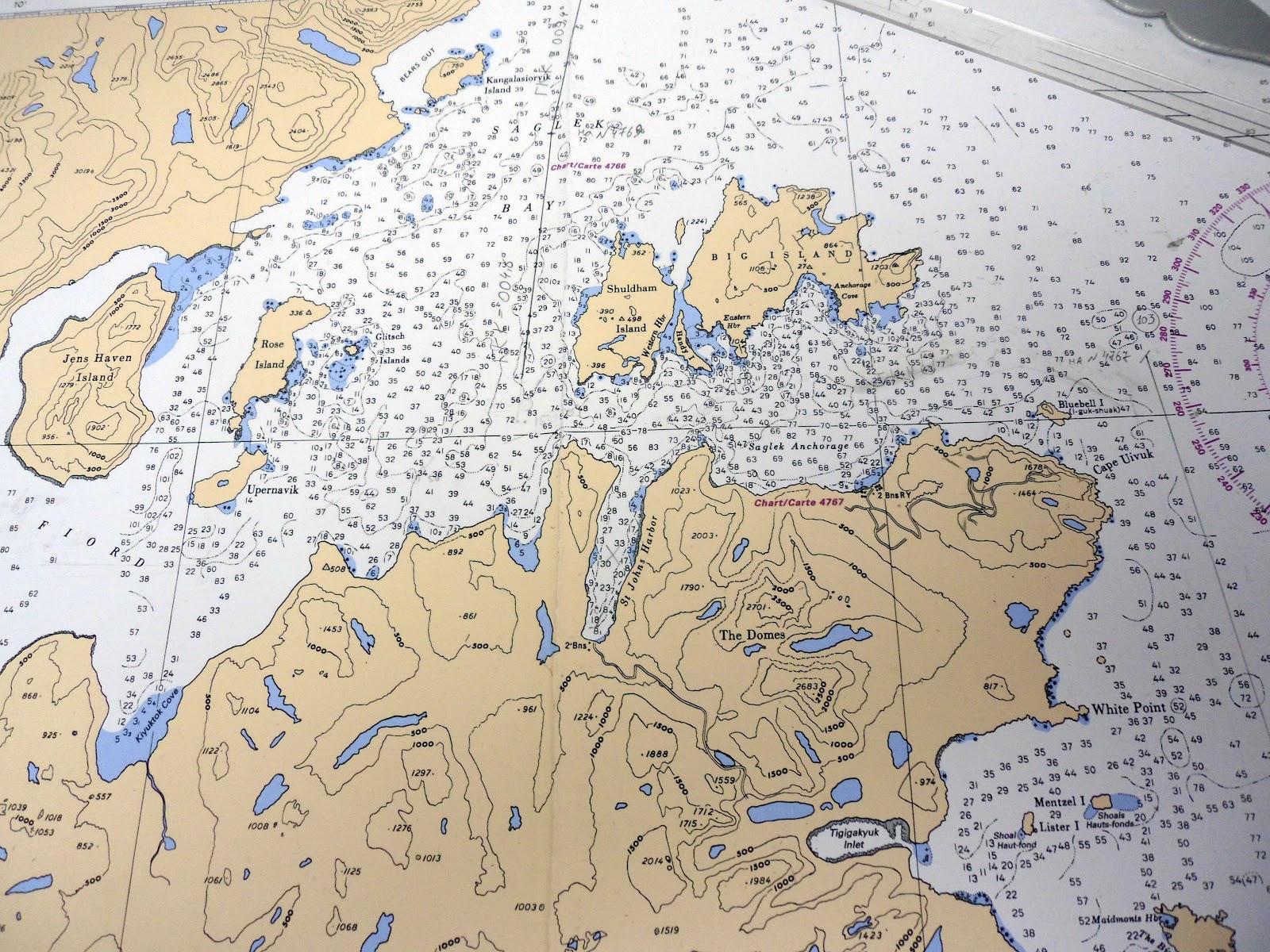
Click to enlarge. Dog island is on the right, Nain is close
to the centre of the chart on the mainland. |
There is a sandy shore here, unlike the other islands we've seen. Apparently a good place to look for signs of earlier inhabitants is where there's a blow-out, where the vegetation and sand has been lifted by the wind, exposing such things as interesting rocks, or knife points and chert tools if one's lucky.
 |
| Not yet identified. |
 |
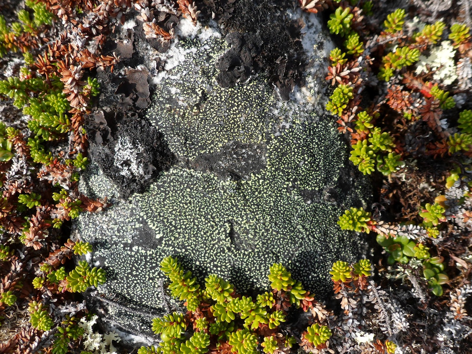
| Lichen and crowberry plants. |
 |
| Cotton grass and the summit of Dog Island. |
 |
| I'm confused about all these different berries... |
 |
| Partridgeberry (Lingonberry), Mitchella repens. |
 |
| I think the flowers are butterwort, but can't see the leaves. |
 |
| Jimmy botanising rather than looking out for bears. |
 |
| Moss campion, Silene acaulis, forms mounds. |
 |
| Trees, an unusual sight. This is about the northerly limit for trees. |
 |
| Returning to the ship. |
Nain
I mentioned Nain some time ago (2 August post on Labrador and Nunatsiavut, where there are photos of the outside and interior of the church). As well as the first Moravian Mission site, it is now the administrative centre for Nunatsiavut, the Inuit administered lands of Newfoundland and Labrador.
 |
Inside the church there's a historical display. Mugs (of tea)
and candles are significant in the Moravian religion. |
 |
| Now 236 years old. |
We were given a tour of the fish plant, where they smoke arctic char and ship it to a distributor in Goose Bay. They didn't seem to know where it went after that. No photos are allowed in the fish plant. It was quite busy even at 4 pm on a Saturday.
Then we went to visit some stone carvers' workshops to make up for missing Iqaluit. Beautiful whale shapes made from soapstone and serpentine at the Terriak's workshop (John and son David). Next we made our way through the small town to the craft store at the Parks Canada HQ for Torngat Mountains National Park. Here there were even more beautiful stone carvings: birds, whales, seals. Seal skins for $100 to $240, and the usual T shirts, ear-rings and so on. The floor of the meeting room here was shiny, iridescent labradorite stone.
 |
The new K to grade 3 school, and teachers' apartments.
Jens Haven Memorial School, Nain. |
 |
The grade 4 to grade 12 school.
Jens Haven Memorial School, Nain. |
 |
| There was a very nice craft store here. |
 |
Flagpoles outside the Nunatsiavut administration centre.
Nunatsiavut, Canadian, and Newfoundland & Labrador flags. |
 |
| Inside the administration centre, another labradorite floor and polar bear rug. |
 |
| Children's artwork celebrating Nunatsiavut. |
Both in the church when we first arrived, and in the administration centre, we were greeted by Sarah Leo, who described herself as part of the Heritage Committee. Dave Lough, the Deputy Minister for Culture in the Tourism department, (a friend of Jim Payne's) who had arranged at short notice for stores to be open, and people to be there to talk to us, introduced Sarah Leo to us as the recently elected President of Nunatsiavut. She explained the importance of completing a new Cultural Centre in time for a Circumpolar Arctic conference to be held in Nain in 2013.
They showed us a video,
Till We Meet Again: Moravian Music in Labrador, described as follows:
"Sounds of Moravian choral music fill the churches of 18th century Nain, Labrador as the Inuit cultural landscape merges with Slavic tradition. The arrival of Moravian missionaries to the northern-most community in Labrador forever influenced the musical tradition of the people of Nunatsiavut."
Unfortunately we had to leave before this had finished, but it is available on the CBC link. Apparently many of the music requests on the local radio station are for Moravian music.